From multiple flash flood events to a dramatic recovery of the worst drought in Western Kentucky's history, our changing seasons are seemingly becoming more extreme.
 The 2013 National Climate Assessment shows that extreme heavy precipitation events are becoming more common across the SE Unites States. In June alone, the WPSD Local 6 area was impacted by 4 flash flood events and June 2013 became the 5th wettest on record. South Fulton, Tennessee, Paducah, Kentucky, and Madisonville/Mortons Gap, Kentucky all suffered damage from short duration heavy precipitation events.
 One of the wettest June's on record was anything but expected after one of the country's worst droughts devastated most of Western Kentucky's corn and soybean crop. As we begin the month of July, the USDA reports that the corn & soybean crops of Kentucky and Tennessee rank as the best in the US. Thanks to a wet and mild spring/summer farmers are staying positive for a bumper crop to recoup 2012 losses.
 The 2013 National Climate Assessment shows that extreme heavy precipitation events are becoming more common across the SE Unites States. In June alone, the WPSD Local 6 area was impacted by 4 flash flood events and June 2013 became the 5th wettest on record. South Fulton, Tennessee, Paducah, Kentucky, and Madisonville/Mortons Gap, Kentucky all suffered damage from short duration heavy precipitation events.
 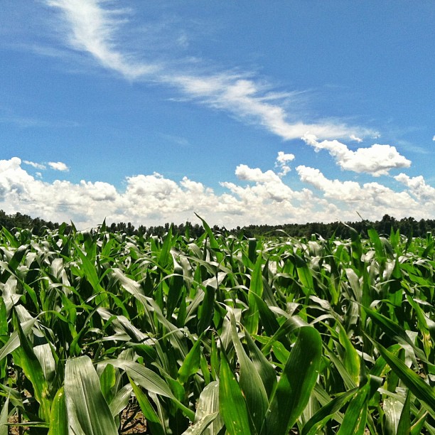 One of the wettest June's on record was anything but expected after one of the country's worst droughts devastated most of Western Kentucky's corn and soybean crop. As we begin the month of July, the USDA reports that the corn & soybean crops of Kentucky and Tennessee rank as the best in the US. Thanks to a wet and mild spring/summer farmers are staying positive for a bumper crop to recoup 2012 losses.
Comments
Parafoil Water barrier supplier
Post a Comment