Keeping an eye on the potential for light icing Monday afternoon and evening.
Saturday PM Update:
The going forecast from the previous update still looks pretty accurate. I took a screenshot of the projected freezing rain totals expected according to the computer model which lines up well with what we have been seeing for a couple of days. There has been a little more of Western Kentucky included in the chance of the light icing but other than that, see below for other graphics. |
| 12Z SAT NAM MODEL RUN - FROM EARL BARKER SNOW |
Friday PM Update:
For a few days now, computer models have been indicating that cold air will spill into the northern half of the Local 6 area Monday throughout the day before moisture leaves the area. Temperatures will begin in the 40's during the morning then drop to near freezing by mid to late afternoon. Areas in Western Kentucky along the Ohio River north into Southern Illinois and most of Southeast Missouri will most likely see the arrival of this cold air before all of the moisture moves east.Main impacts will be on elevated surfaces such as trees, windshields, overpasses, and bridges across the area. Ice accumulation appears to be light at .05-.10 in the identified area below.
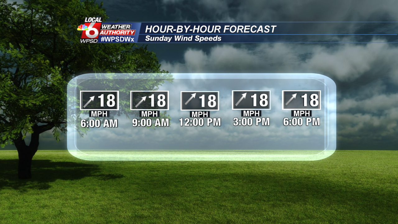
Winds will be a big part of the weather story all weekend long as this cold front approaches and temperatures warm quickly. Winds will ramp up Saturday from the SSW from 10-20 mph and stay elevated into Sunday and Monday until the front passes. Here is a look at the winds hour-by-hour for both Saturday and Sunday. Wind gusts may reach between 25-30mph.


Comments
Post a Comment