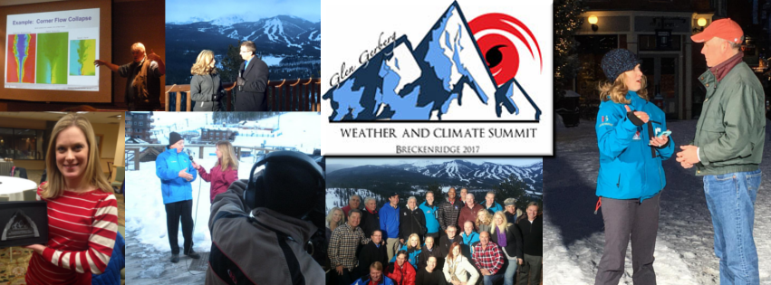
Agenda of Presentations and Live Streaming Times
During live streaming times I will be available in the associated chat room to answer questions and ask questions of the speakers for those viewers who have questions. During the Q&A at 12:45pm each day, I will be on Facebook LIVE to give a wrap-up and to give you one-on-one interaction with the speakers of the day. I'll also be popping up on Facebook LIVE from time to time during the afternoons to give you exclusive behind the scenes updates and a look to when I will be live on WPSD Local 6 Tue, Wed, and Thu. The live stream video player will appear here the morning of January 9th.
Live Reports on Local 6: Tuesday 5pm, Wednesday 6pm, Thursday 5pm.
Live Reports on Local 6: Tuesday 5pm, Wednesday 6pm, Thursday 5pm.
**All times listed in Central time**
Monday, January 9, 2017Live Streaming Begins 9:00am - 9:30am
Weather Briefing: Dale Eck - Director, Global Forecast Center, The Weather Company
9:30am - 11:00am
Session 1: Dr. Mitch Goldberg - Chief Scientist, Joint Polar Satellite Systems, NOAA/NESDIS
JPSS: Providing Global Monitoring and Environmental Intelligence for Improved Situational Awareness and Weather Forecasting (Abstract)
11:15am - 12:45am
Session 2: Deke Arndt - Chief, Monitoring Branch, National Center for Environmental Information (NCEI) State of the Climate and the Extreme Events Around the World, Attribution and Communications Challenges (Abstract)
12:45am - 1:00pm
Q&A with the Day's Speakers
Tuesday, January 10, 2017
Live Streaming Begins 9:00am - 9:30am
Weather Briefing: Dale Eck - Director, Global Forecast Center, The Weather Company
9:30am - 11:00am
Session 3: Dr. Rick Knabb - Director, National Hurricane Center (NHC), NOAA/NWS
The 2016 Hurricane Season, Summary, Challenges, and New Products (Abstract)
11:15am - 12:45am
Session 4: Greg Carbin - Weather Prediction Center, NOAA/NWS
Extreme Precipitation Events of 2016 and Emerging WPC Heavy Precip Products for a Weather Ready Nation (Abstract)
12:45am - 1:00pm
Q&A with the Day's Speakers
Wednesday, January 11, 2017
Live Streaming Begins 9:00am - 9:30am
Weather Briefing: Dale Eck - Director, Global Forecast Center, The Weather Company
9:30am - 11:00am
Session 5: Dr. Jim White - Director, Institute for Arctic and Alpine Research, Univ. of Colorado
Greenland, CO2, and a Whole Lot of Worry
11:15am - 12:45am
Session 6: Dr. Ben Strauss - Director, Sea Level Rise Program, Climate Central
Tools to Communicate Sea Level Rise Impacts in Your Communities
12:45am - 1:00pm
Q&A with the Day's Speakers
7:00pm - 8:00pm Town Hall Meeting
Special Community Town Hall Meeting on Extreme Weather, Climate Change Impacts, Sea Level Rise, Tornado Research, Hurricanes, and the Upcoming Eclipse in 2017 – Featuring WXCS Speakers
Thursday, January 12, 2017
Live Streaming Begins 9:00am - 9:30am
Weather Briefing: Dale Eck - Director, Global Forecast Center, The Weather Company
9:30am - 11:00am
Session 7: Howie Bluestein - Professor and George Lynn Cross Research Professor of Meteorology, Univ. of Oklahoma
Rapidly Learning About the Rapid Formation of Tornadoes from Rapid-Scan Doppler Radars (Abstract)
11:15am - 12:45am
Session 8: Dr. Lika Guhathakurta - NASA Headquarters
The Total Solar Eclipse of 2017, You Can’t Miss This One & You Can Involve Your Viewers!!
12:45am - 1:00pm
Q&A with the Day's Speakers
To Follow me on Twitter: @JRukavinaWPSD
To Follow me on Facebook and Facebook Live: www.facebook.com/JenniferRukavinaWPSD
Comments
Post a Comment