 |
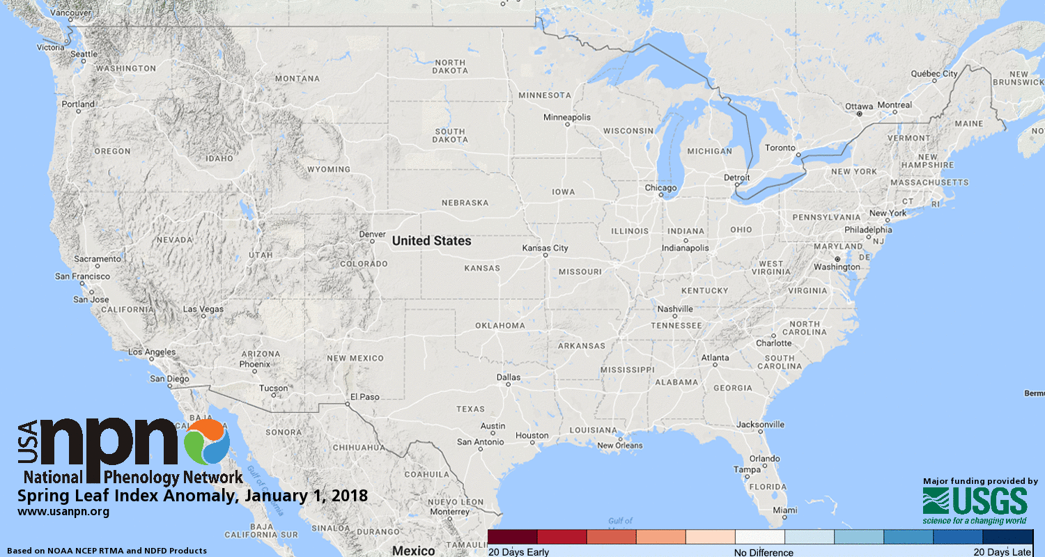
The National Phenology Network is showing the early arrival of leaves on trees in the Ohio Valley, the Midwest, and Western United States this year. This trend has become more of a norm over the past past 50 years.
Climate Central published data this week showing the same trend since 1970 with notable attention to the West where states are seeing as many as 17 more frost-free days, extending the growing season. Here in the Local 6 area, the growth is not as notable but still averaging between 4-9 days additional to the growing season. Why does this matter? Aside from having an influence on which plants are suitable for planting zones, it has a much higher societal impact by extending the allergy season.
"As the climate warms from the increase of greenhouse gases into the atmosphere, the last spring freeze is trending earlier and the first fall freeze is coming later. This means the growing season is getting longer, and so is the pollen season— whether it is from tree pollens in the spring, grass pollens in the summer, or ragweed in the fall. A study sampling 10 locations from Texas to Saskatoon, Canada indicated that pollen seasons lengthened between two to four weeks from 1995 to 2009, with the largest increases in the northernmost areas.
In addition, increasing atmospheric carbon dioxide enhances photosynthesis in plants, meaning that they produce more pollen. Lab studies have confirmed this, with timothy grass producing twice as much pollen for a doubling of carbon dioxide, and ragweed producing twice as much pollen even before a doubling of carbon dioxide is reached. And the lab studies are supported from the field. One study in Baltimore, where carbon dioxide concentrations were 30 percent higher than outside the city, found that ragweed grew faster and produced more pollen in the city.
Pollen allergies are not just a nuisance. Asthma symptoms can be triggered by exposure to pollen, with the number of emergency room visits increasing on days with high pollen. An analysis of emergency room visits in New York City during 1999 showed peaks in the number of visits correlated with high spring pollen counts, and is consistent with other work connecting allergy-induced asthma to increasing in hospital visits." -Climate Central


Comments
Ipad screen repair hk
Ipad repair hong kong
Repair My Phone Is one of the best repairing store in oxford. We have 3 stores in oxford and have certified experst for repairing all kinds of iphones, samsung smaprtphones etc.
Iphone 6 Screen Replacement
Iphone 6s Screen Replacement
Iphone 6 plus Screen Replacement
Iphone 7 plus Screen Replacement
Iphone 7 Screen Replacement
Iphone 8 Screen Replacement
Iphone 8 plus Screen Replacement
Iphone X Screen Replacement
Iphone XS Screen Replacement
Post a Comment